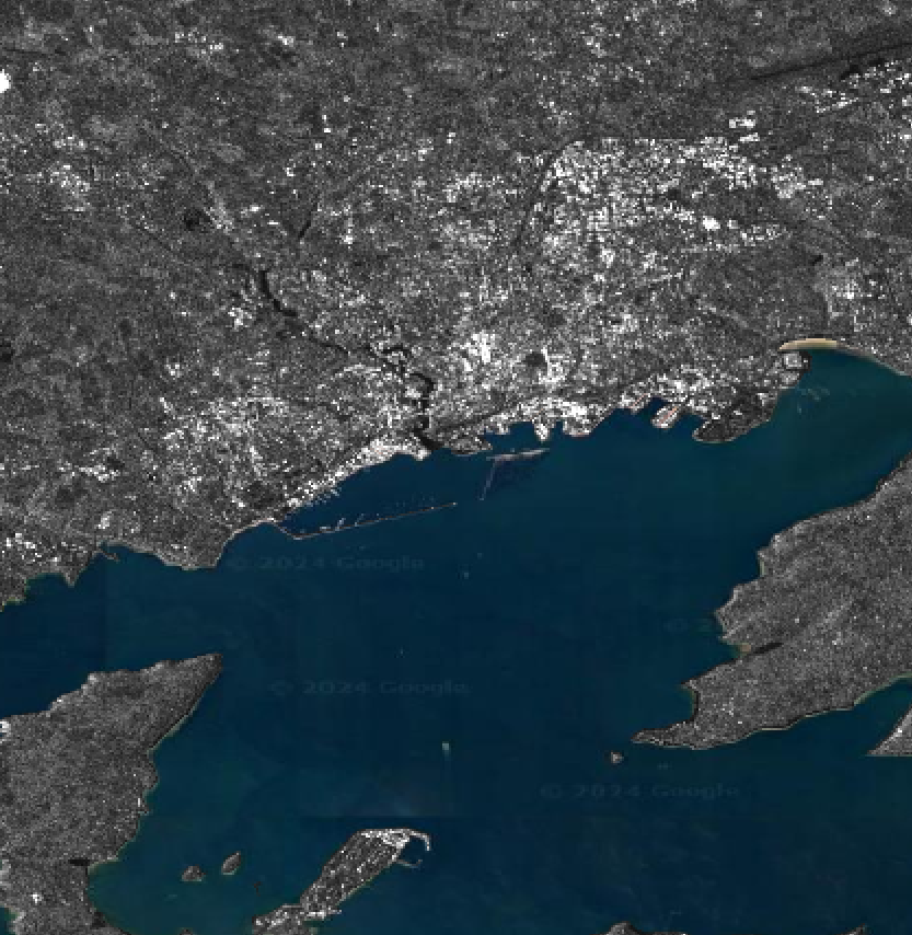
El poder i detall de les tècniques de teleobservació de la terra em flipa molt.
https://framapiaf.org/@tyldurd/114359605408260967
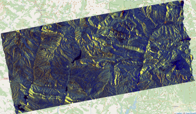
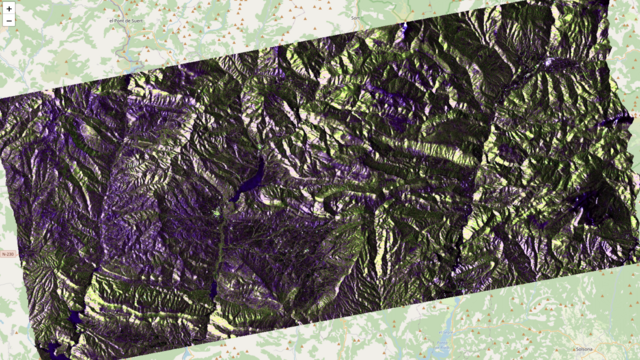
Here's a polarimetric color composite of a Sentinel-1C image processed with EO-Tools — shown both without and with terrain flattening. It's fascinating how much information is hidden by topography.
I'm thinking of adding compositing functions directly into the software. What do you think — would that be useful?


