mathstodon.xyz is one of the many independent Mastodon servers you can use to participate in the fediverse.
A Mastodon instance for maths people. We have LaTeX rendering in the web interface!

Server stats:

2.8K
active users

#wea

13 posts5 participants0 posts today

#EAS #WEA for MI Macomb County: From Roseville FD/Macomb Emergency Management: Air quality testing indicates that it is no longer necessary to shelter in place due to the industrial fire at 12 Mile/Hayes. The fire department has lifted the shelter in place advisory. 12 Mile Rd remains closed between Hayes and Groesbeck. Source: 200712,MI Macomb County, ** DO NOT RELY ON THIS FEED FOR LIFE SAFETY, SEEK OUT OFFICIAL SOURCES ***
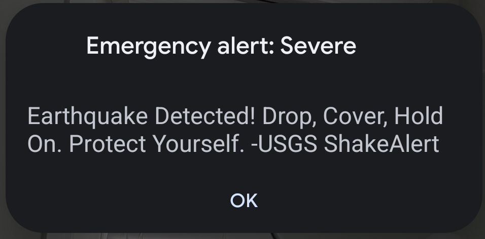
#EAS #WEA for Jefferson, #LA; #Orleans, #LA; #St. Bernard, #LA: National Weather Service: A FLASH #FLOOD WARNING is in effect for this area until 5:45 PM CDT. This is a dangerous and life-threatening situation. Do not attempt to travel unless you are fleeing an area subject to flooding or under an evacuation order. Source: NWS New Orleans LA ** DO NOT RELY ON THIS FEED FOR LIFE SAFETY, SEEK OUT OFFICIAL SOURCES ***

#EAS #WEA for Laclede, #MO; #Texas, #MO; #Wright, #MO: National Weather Service: #TORNADO WARNING in this area until 5:45 PM CDT. Take shelter now in a basement or an interior room on the lowest floor of a sturdy building. If you are outdoors, in a mobile home, or in a vehicle, move to the closest substantial shelter and protect yourself from flying debris. Check media. Source: NWS Springfield MO ** DO NOT RELY ON THIS FEED FOR LIFE SAFETY, SEEK OUT OFFICIAL SOURCES ***

#EAS #WEA for Clark, #AR; #Garland, #AR; #Hot Spring, #AR; #Montgomery, #AR; #Pike, #AR: National Weather Service: #TORNADO WARNING in this area until 5:00 PM CDT. Take shelter now in a basement or an interior room on the lowest floor of a sturdy building. If you are outdoors, in a mobile home, or in a vehicle, move to the closest substantial shelter and protect yourself from flying debris. Check media. Source: NWS Little Rock AR ** DO NOT RELY ON THIS FEED FOR LIFE SAFETY, SEEK OUT OFFICIAL SO

#EAS #WEA for McCurtain, #OK: National Weather Service: #TORNADO WARNING in this area until 2:15 PM CDT. Take shelter now in a basement or an interior room on the lowest floor of a sturdy building. If you are outdoors, in a mobile home, or in a vehicle, move to the closest substantial shelter and protect yourself from flying debris. Check media. Source: NWS Shreveport LA ** DO NOT RELY ON THIS FEED FOR LIFE SAFETY, SEEK OUT OFFICIAL SOURCES ***

#EAS #WEA for Runnels, #TX: National Weather Service: A FLASH #FLOOD WARNING is in effect for this area until 1:00 AM CDT. This is a dangerous and life-threatening situation. Do not attempt to travel unless you are fleeing an area subject to flooding or under an evacuation order. Source: NWS San Angelo TX ** DO NOT RELY ON THIS FEED FOR LIFE SAFETY, SEEK OUT OFFICIAL SOURCES ***

#EAS #WEA for Brewster, #TX; #Jeff Davis, #TX; #Pecos, #TX; #Presidio, #TX; #Reeves, #TX; #Ward, #TX: National Weather Service: DUST STORM WARNING for this area until 8:30 PM CDT. Be ready for sudden drop to zero visibility. Pull Aside, Stay Alive! When visibility drops, pull far off the road and put your vehicle in park. Turn the lights off and keep your foot off the brake. Infants, the elderly and those with respiratory issues urged to take precautions. Source: NWS Midland/Odessa TX ** DO NOT

#EAS #WEA for Dona Ana, #NM; #Otero, #NM; #Sierra, #NM; #El Paso, #TX: National Weather Service: DUST STORM WARNING for this area until 8:00 PM MDT. Be ready for sudden drop to zero visibility. Pull Aside, Stay Alive! When visibility drops, pull far off the road and put your vehicle in park. Turn the lights off and keep your foot off the brake. Infants, the elderly and those with respiratory issues urged to take precautions. Source: NWS El Paso Tx/Santa Teresa NM ** DO NOT RELY ON THIS FEED FOR

#EAS #WEA for Dona Ana, #NM; #Luna, #NM: National Weather Service: DUST STORM WARNING for this area until 3:15 PM MDT. Be ready for sudden drop to zero visibility. Pull Aside, Stay Alive! When visibility drops, pull far off the road and put your vehicle in park. Turn the lights off and keep your foot off the brake. Infants, the elderly and those with respiratory issues urged to take precautions. Source: NWS El Paso Tx/Santa Teresa NM ** DO NOT RELY ON THIS FEED FOR LIFE SAFETY, SEEK OUT OFFICIA

#EAS #WEA for Harrison, #IA; #Pottawattamie, #IA; #Dodge, #NE; #Douglas, #NE; #Washington, #NE: National Weather Service: SEVERE THUNDERSTORM WARNING in effect for this area until 7:15 PM CDT for DESTRUCTIVE baseball size hail and 80 mph winds. Take shelter in a sturdy building, away from windows. People and animals outdoors will be severely injured. Source: NWS Omaha/Valley NE ** DO NOT RELY ON THIS FEED FOR LIFE SAFETY, SEEK OUT OFFICIAL SOURCES ***

#EAS #WEA for Dodge, #NE; #Douglas, #NE; #Saunders, #NE; #Washington, #NE: National Weather Service: #TORNADO WARNING in this area until 6:45 PM CDT. Take shelter now in a basement or an interior room on the lowest floor of a sturdy building. If you are outdoors, in a mobile home, or in a vehicle, move to the closest substantial shelter and protect yourself from flying debris. Check media. Source: NWS Omaha/Valley NE ** DO NOT RELY ON THIS FEED FOR LIFE SAFETY, SEEK OUT OFFICIAL SOURCES ***

#EAS #WEA for Dona Ana, #NM; #Otero, #NM; #El Paso, #TX: National Weather Service: DUST STORM WARNING for this area until 8:30 PM MDT. Be ready for sudden drop to zero visibility. Pull Aside, Stay Alive! When visibility drops, pull far off the road and put your vehicle in park. Turn the lights off and keep your foot off the brake. Infants, the elderly and those with respiratory issues urged to take precautions. Source: NWS El Paso Tx/Santa Teresa NM ** DO NOT RELY ON THIS FEED FOR LIFE SAFETY,

#EAS #WEA for Dona Ana, #NM; #Grant, #NM; #Hidalgo, #NM; #Luna, #NM; #Otero, #NM; #Sierra, #NM: National Weather Service: DUST STORM WARNING for this area until 8:00 PM MDT. Be ready for sudden drop to zero visibility. Pull Aside, Stay Alive! When visibility drops, pull far off the road and put your vehicle in park. Turn the lights off and keep your foot off the brake. Infants, the elderly and those with respiratory issues urged to take precautions. Source: NWS El Paso Tx/Santa Teresa NM ** DO

#EAS #WEA for Hampshire, #MA: Endangered 41-year-old white female, 5 feet 2 inches and 160 pounds, brown hair. Last seen driving blue Altima in the area of 16 Mulligan Drive at 11pm Friday Night. Please check exterior cameras and if seen contact South Hadley PD at 4135388231. facebook.com/share/1AdUtd2tbN/ Source: 200117,MA Employees,MA Emergency Management Agency ** DO NOT RELY ON THIS FEED FOR LIFE SAFETY, SEEK OUT OFFICIAL SOURCES ***

#EAS #WEA for Taylor, #FL: National Weather Service: #TORNADO WARNING in this area until 6:15 PM EDT. Take shelter now in a basement or an interior room on the lowest floor of a sturdy building. If you are outdoors, in a mobile home, or in a vehicle, move to the closest substantial shelter and protect yourself from flying debris. Check media. Source: NWS Tallahassee FL ** DO NOT RELY ON THIS FEED FOR LIFE SAFETY, SEEK OUT OFFICIAL SOURCES ***

#EAS #WEA for Downtown Shelbyville: EMERGENCY ROAD CLOSURE - Stalled Train State Route 16 East - Downtown Shelbyville Route 16 and Washington Street - AVOID AREA - Through traffic use State Route 128 North to County Highway 3 East, Findlay, to State Route 32 South to reconnect. Source: shelbycountyil ** DO NOT RELY ON THIS FEED FOR LIFE SAFETY, SEEK OUT OFFICIAL SOURCES ***

#EAS #WEA for Downtown Shelbyville: EMERGENCY ROAD CLOSURE - Stalled Train - Shelbyville Route 16 and Washington St. - Avoid area if possible. Through traffic can travel North on Morgan Street to 9th Street to cross Railway. Source: shelbycountyil ** DO NOT RELY ON THIS FEED FOR LIFE SAFETY, SEEK OUT OFFICIAL SOURCES ***

#EAS #WEA for In this area: Voluntary Evacuation is in effect for areas along Black River and low-lying areas. Black River crest 26.5 ft Wed. Shelter open at Pocahontas Community Center. 205 Geneva Dr. Source: 202220,,Randolph County AR OEM ** DO NOT RELY ON THIS FEED FOR LIFE SAFETY, SEEK OUT OFFICIAL SOURCES ***

#EAS #WEA for City of Radcliffe: The City of Radcliffe is issuing a boil order from 9 AM Tuesday through 12 Noon Wednesday. Source: IAHardinCountyEmergencyManagement ** DO NOT RELY ON THIS FEED FOR LIFE SAFETY, SEEK OUT OFFICIAL SOURCES ***